This Forgotten Corner of Oklahoma Looks Nothing Like the Rest of the State

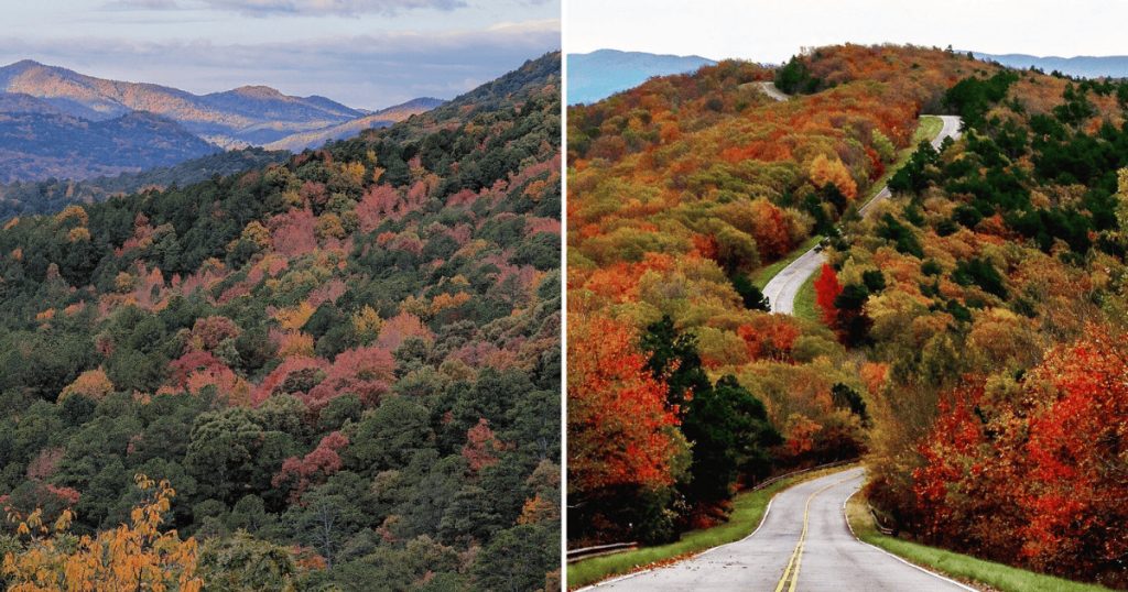
Every state has at least one corner that doesn’t fit its own stereotype.
Texas has its piney woods that look nothing like the cattle-and-cactus image most people carry around. Kansas has the Flint Hills, rolling and green in a way that contradicts every “flat as a pancake” joke ever told about it.
And Oklahoma, it turns out, has an entire mountain range tucked into its southeastern corner that most people, including plenty of lifelong Oklahomans, don’t know is there.
I love stumbling across this kind of contradiction. There’s something deeply satisfying about a place quietly disproving its own reputation, especially when it does so without ever bothering to make a big announcement about it.
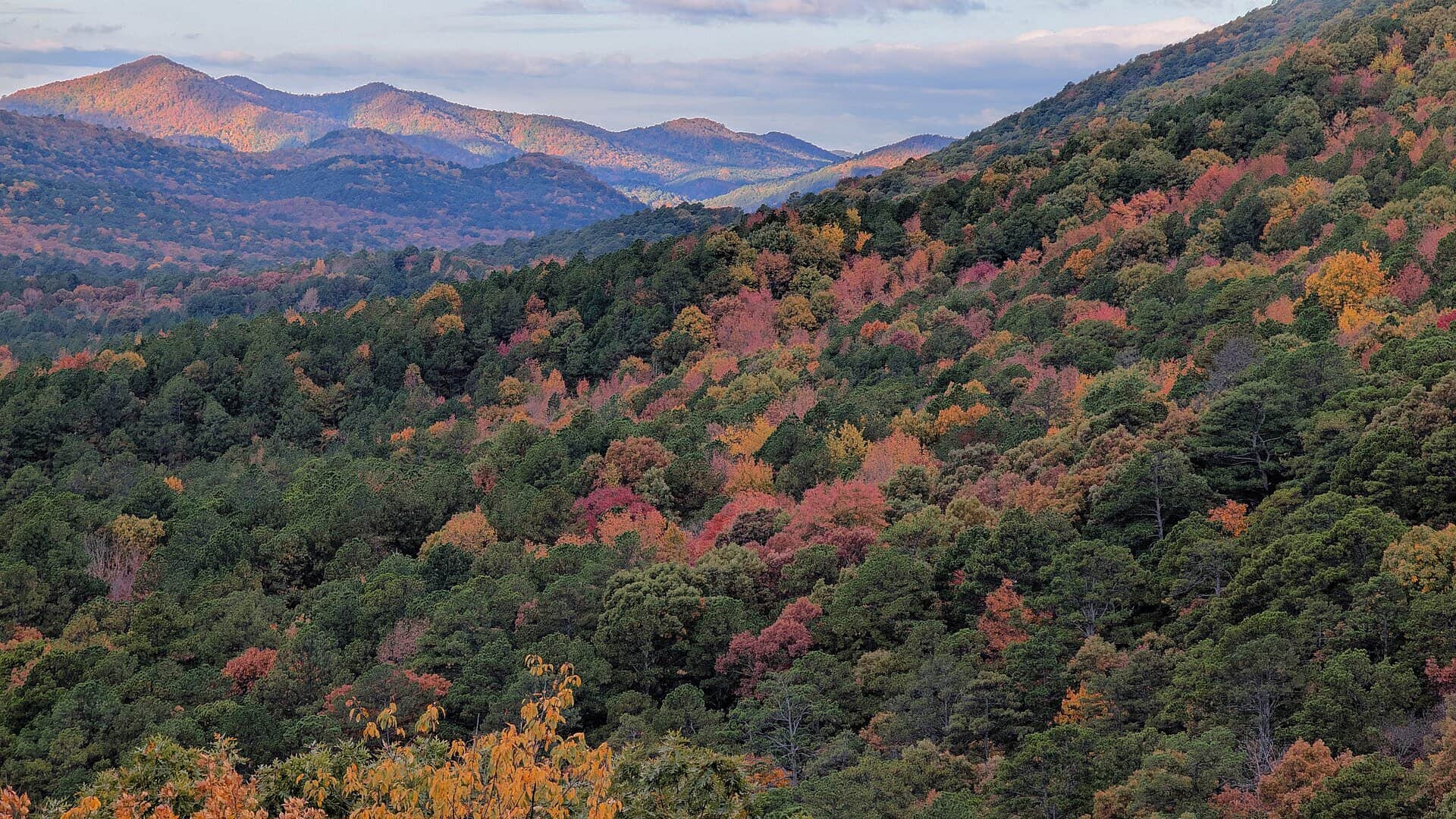
I think it’s because most of us carry around these flattened, secondhand impressions of states we’ve never actually visited, built from a handful of stereotypes and maybe one road trip years ago. Reality rarely cooperates with that lazy shorthand once you actually pay attention.
The Ouachita Mountains stretch across southeastern Oklahoma and into Arkansas, rising unexpectedly out of land most people assume stays flat clear to the horizon.
Forested ridges, winding valleys, and a scenic drive that regularly catches even GPS-rerouted travelers completely off guard.
This is the Oklahoma almost nobody pictures, and the people who do find it tend to describe the experience with a particular kind of stunned, grateful surprise.
A Mountain Range Older Than the Dinosaurs
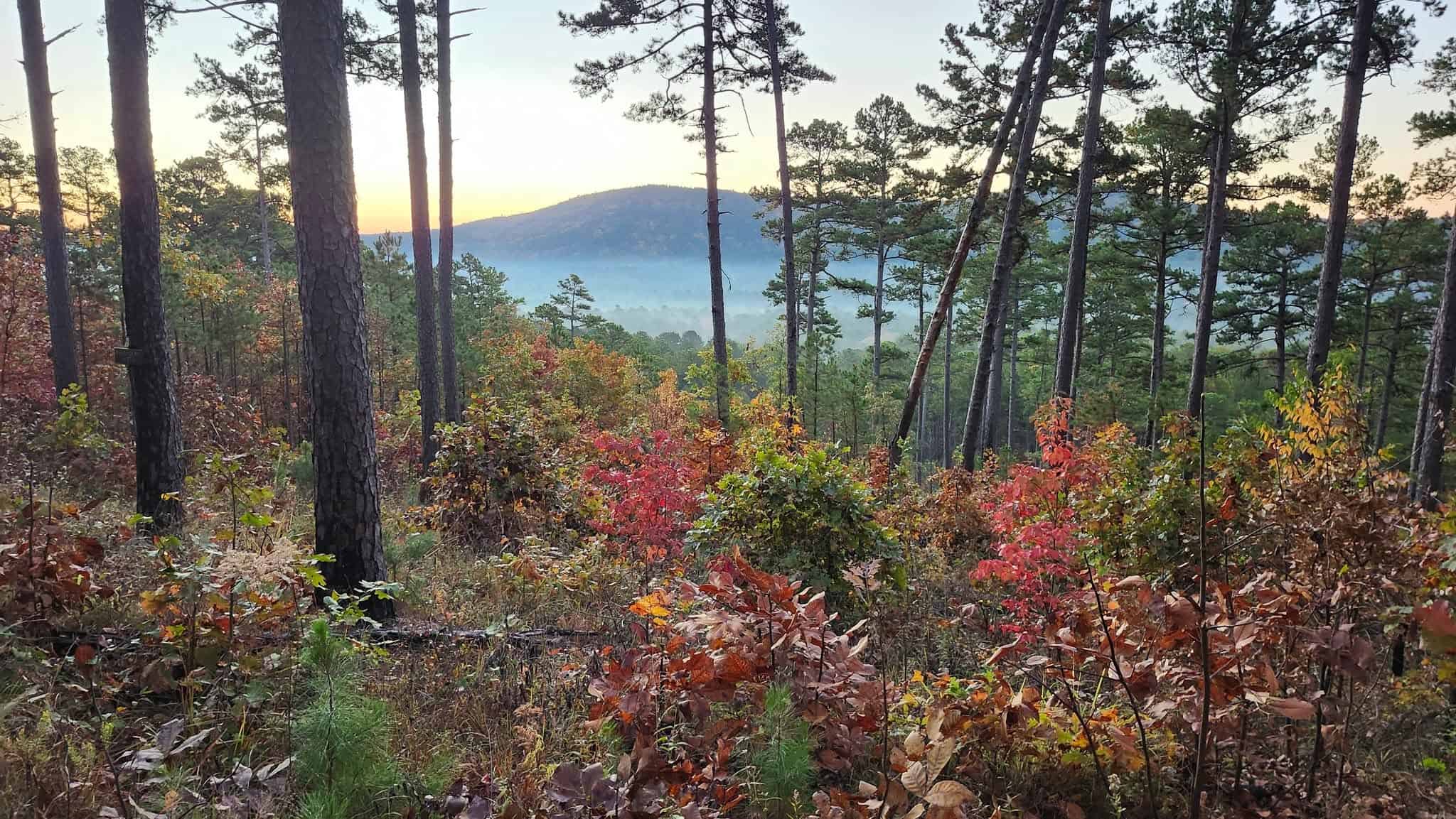
These mountains formed roughly 300 million years ago, born from a massive collision between continental plates that folded and faulted layers of rock into the ridges visitors drive through today.
Unlike most American mountain ranges, which tend to run north to south, the Ouachitas stretch east to west, giving them a distinctive geological signature that sets them apart from anything else in the region.
The exposed sandstone and shale tell their own story to anyone who knows how to read it, with rock layers tilted at dramatic angles that hint at the violent pressures that shaped this land long before anything resembling a dinosaur ever walked across it.
One traveler driving through described being completely caught off guard, admitting she had no idea Oklahoma contained mountains this beautiful.
She and her family had taken an alternate route home to Texas specifically to avoid the turnpike, and the detour ended up being the most memorable part of the entire trip.
That kind of accidental discovery comes up again and again. People aren’t usually planning a dedicated trip here. They stumble into it, often thanks to a rerouted GPS, and leave talking about it for years afterward.
The Talimena Drive Earns Every Bit of Its Reputation
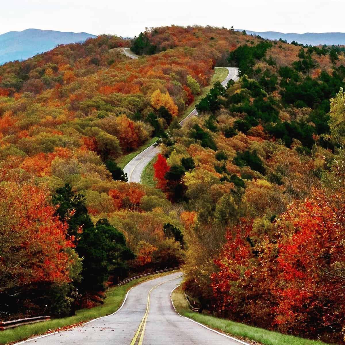
Stretching more than 50 miles along the ridgeline from Talihina, Oklahoma, into Mena, Arkansas, the Talimena Scenic Drive ranks among the most celebrated mountain roads in the entire country.
Engineers deliberately routed this highway along the highest available elevations specifically to maximize the views, and that intentional design shows in every single curve.
One visitor described it simply as a beautiful drive with great views throughout the mountains, while specifically noting it’s safer to tackle during daylight hours, given the frequency of sharp turns along the route.
Another traveler offered a more detailed warning, describing a mix of S-turns, sharp 45-degree bends, and a couple of genuinely tight hairpin turns that demand real attention from the driver rather than the passengers enjoying the view.
That warning shows up consistently enough across reviews that it’s worth taking seriously. This isn’t a road for distracted driving, but it rewards focused attention with some of the most dramatic scenery available anywhere in Oklahoma.
Numerous overlooks punctuate the drive, giving travelers regular opportunities to pull over and actually take in the view rather than catching fragmented glimpses through a windshield at highway speed.
One visitor specifically mentioned stopping at an overlook to stretch her legs during a longer drive, though she noted the restroom facilities weren’t open at the time, a detail worth planning around if you’re making several stops along the route.
Fall Color That Rivals Anywhere in the Country
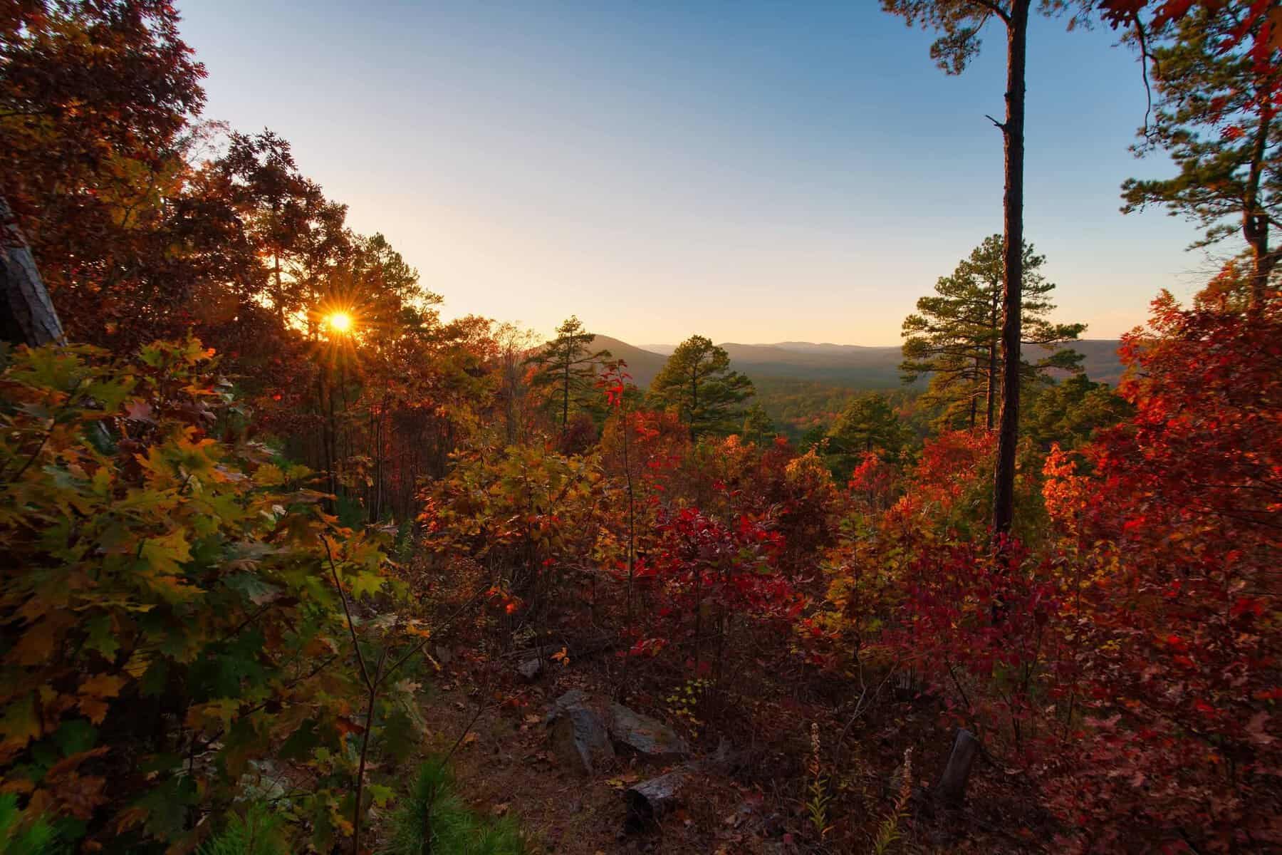
Autumn transforms this entire mountain range into one of Oklahoma’s premier leaf-peeping destinations, with hardwood forests bursting into brilliant reds, oranges, and golds typically peaking in late October.
One visitor described the experience in simple, glowing terms, noting the leaves were actively changing color during her visit, paired with warm weather and a cool breeze that made the whole drive feel close to perfect.
Oaks, hickories, and maples create a genuinely striking patchwork across the hillsides during this stretch of the calendar, rivaling displays you’d typically expect to find much farther north and east.
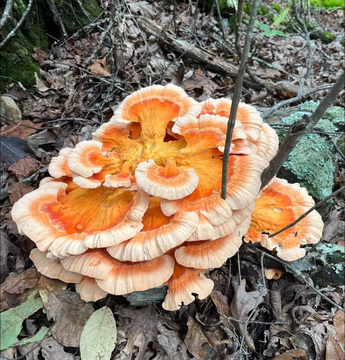
Spring brings an entirely different but equally rewarding kind of beauty. Dogwoods and redbuds add soft white and pink accents to the emerging green canopy, while wildflowers begin carpeting sections of the forest floor as temperatures warm.
Each season here genuinely earns its own dedicated visit. Regular drivers along this route describe returning specifically to catch different stages of seasonal change, rather than treating a single trip as sufficient to understand the area.
Mountains Cavernous Enough to Get Genuinely Lost In
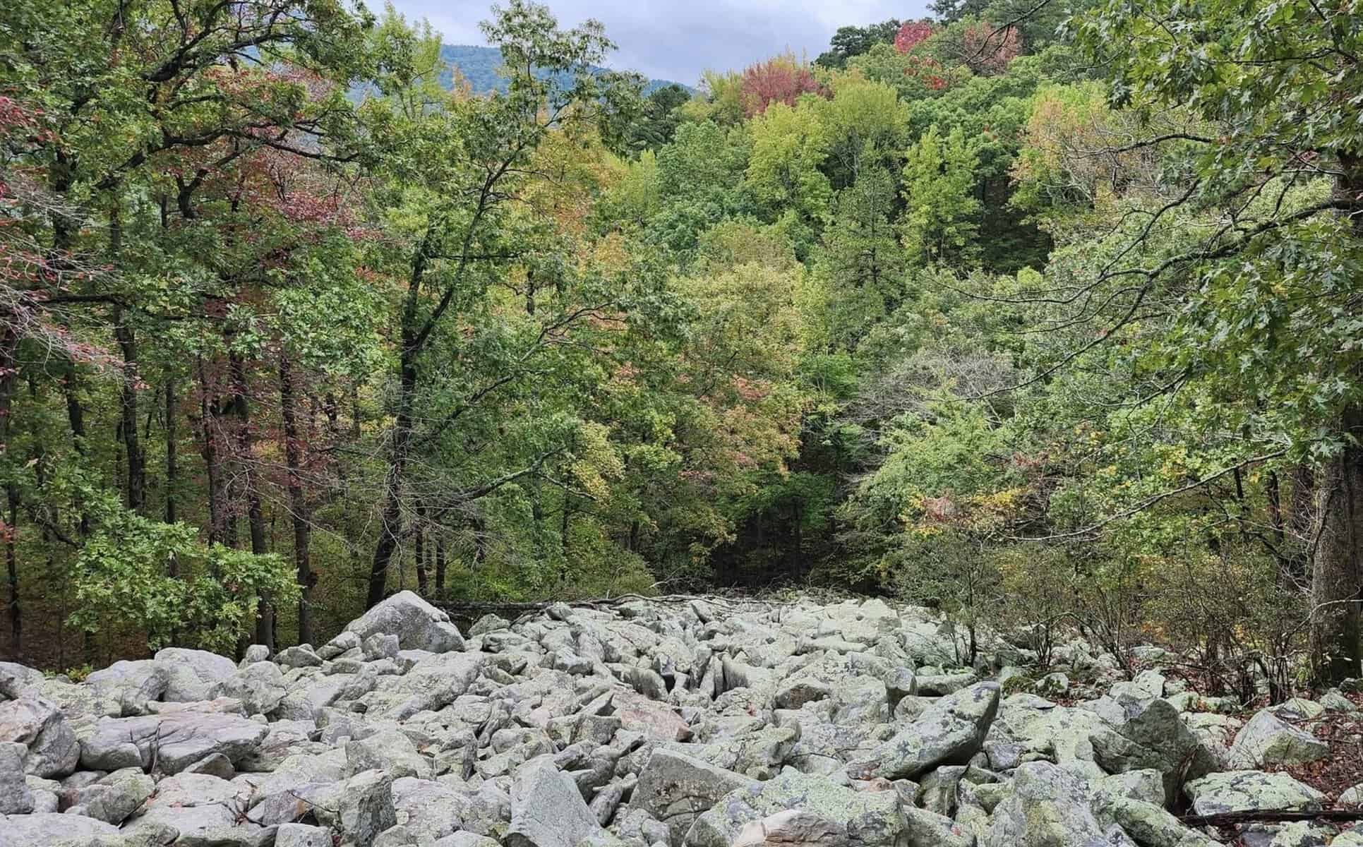
Beyond the scenic drive itself, the surrounding terrain offers exploration that goes considerably deeper than what’s visible from any roadside pullout.
One longtime visitor described the mountains as cavernous, with exploration opportunities that felt genuinely endless. She specifically mentioned hiking, driving, and hunting for crystals along the area’s mountain streams as activities that kept her coming back repeatedly.
That crystal hunting tradition runs deep in this region.
The mountains’ sandstone geology naturally filters water as it moves through porous rock layers, and quartz crystals wash down from higher elevations into streambeds where patient searchers can find everything from tiny points to impressively sized clusters.
No special permits are typically required for casual collecting in most public areas, which makes this an accessible, family-friendly activity for visitors who want to do more than just look at the scenery from a car window.
One visitor specifically credited the area’s springs and streams as a source of genuinely good, clean water, a small but telling detail about just how undeveloped and naturally pure parts of this region have remained.
Wildlife That Roams Largely Undisturbed
The extensive forest cover and limited human development throughout this region create genuinely ideal conditions for wildlife, with species ranging from common white-tailed deer to far more elusive black bears calling these ridges home.
One traveler mentioned not managing to photograph the mountain itself during her visit, but said watching the surrounding trees and animals made the trip thoroughly enjoyable, regardless of what ended up in her camera roll.
Morning and evening hours tend to bring the best wildlife viewing opportunities, when animals naturally emerge from daytime cover to feed and move between different parts of their territory.
Turkeys, raccoons, armadillos, and a wide range of squirrel species round out the more commonly spotted residents, while hawks circle on thermals rising from sun-warmed ridges and owls hunt quietly through the forest after dark.
Patient visitors who move slowly and keep a pair of binoculars handy tend to have the most rewarding encounters, particularly along quieter forest roads away from the main scenic drive’s heavier traffic.
A Trail System for Travelers Willing to Go Deeper
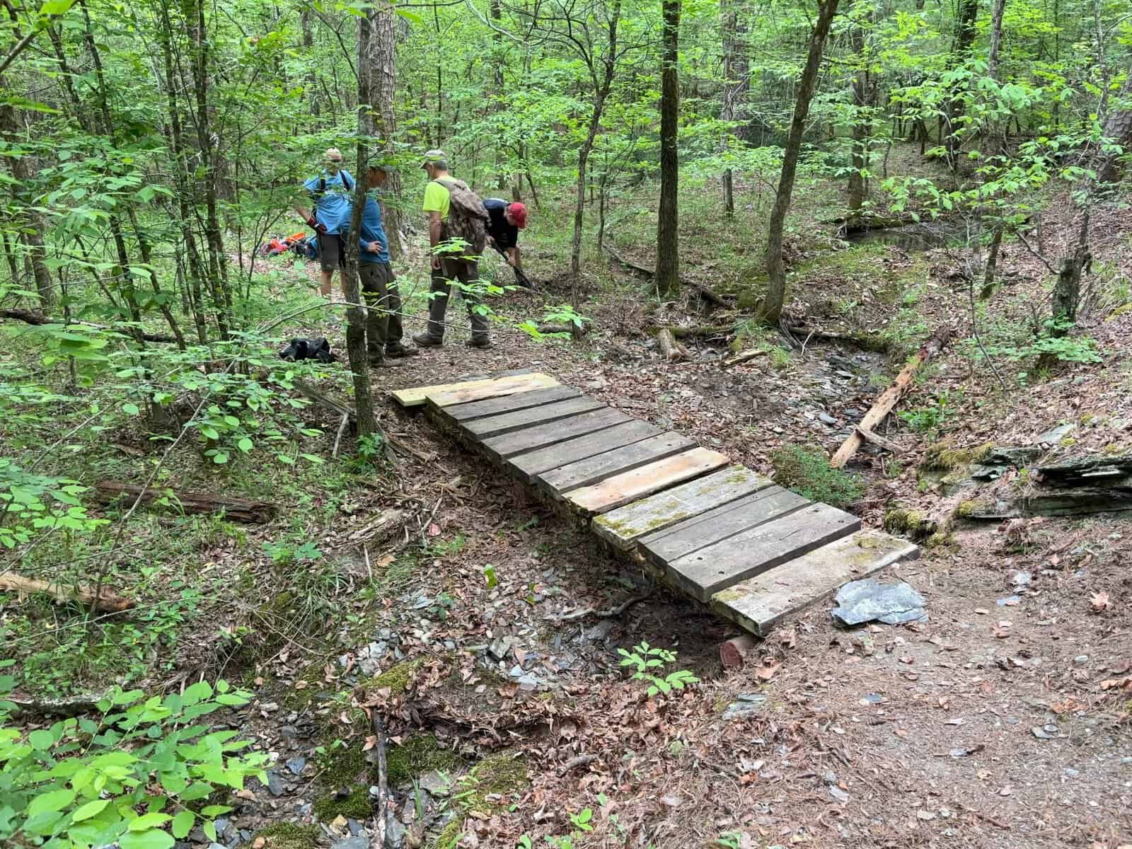
For visitors wanting more than a scenic drive, the Ouachita National Recreation Trail offers a genuinely serious backcountry challenge, stretching well over 200 miles from Oklahoma all the way to a state park near Little Rock, Arkansas.
The Oklahoma portion alone covers roughly 40 miles of rugged terrain, winding through pristine forest where black bears, deer, and wild turkeys move freely, largely undisturbed by the kind of foot traffic found on more famous national trails elsewhere in the country.
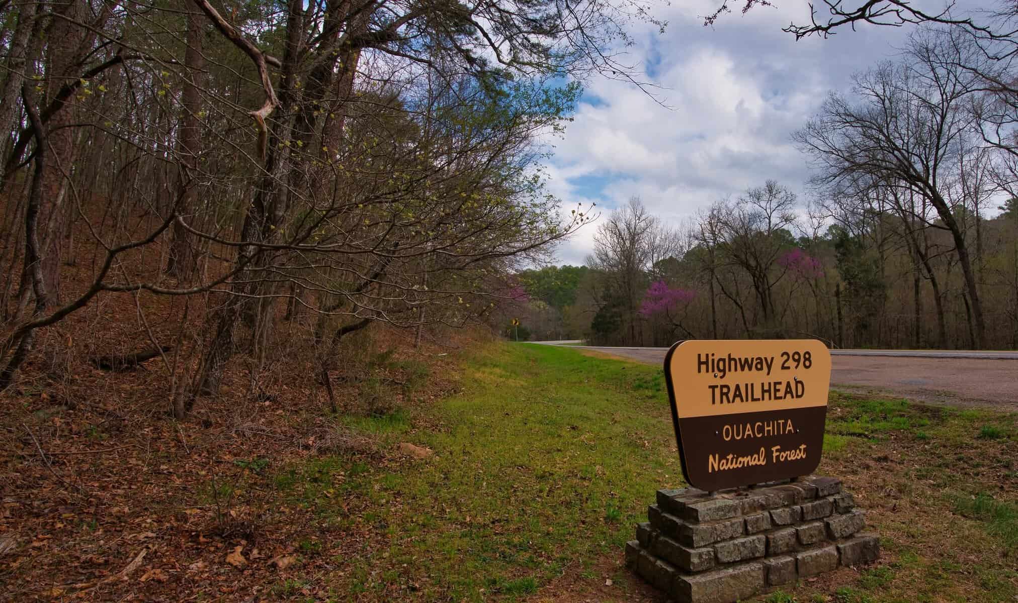
Day hikers don’t need to commit to the entire route to experience its character. Several access points along forest roads allow shorter out-and-back hikes ranging anywhere from a couple of miles to a full, satisfying day on the trail.
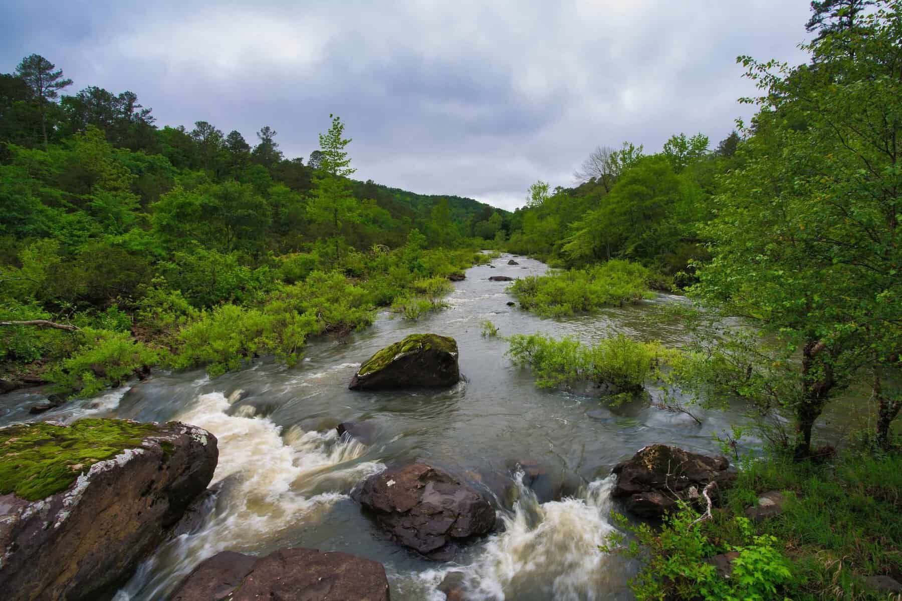
Trail markers help guide the way, though careful navigation still matters, especially in stretches where old logging roads or game trails might create some understandable confusion for first-time visitors.
Water sources can run scarce during summer droughts, making careful planning essential for anyone attempting longer sections during the hottest stretches of the year.
Winter hiking, by contrast, offers a kind of solitude that’s hard to find elsewhere in the state. Bare trees open up views that stay hidden behind summer’s full canopy.
The trails themselves see far less traffic, too, leaving long stretches of forest entirely to whoever’s willing to brave the colder temperatures.
Mountain Biking: Locals Are Just Starting to Discover This Activity

A newer but rapidly growing draw in this region comes from mountain bikers who’ve started discovering trail networks that test technical skill as seriously as they reward it.
The same rocky, steep terrain that challenges hikers creates thrilling descents and genuinely grueling climbs for cyclists willing to tackle technical singletrack through these remote forests.
Riders navigate loose rocks, exposed roots, and tight switchbacks that demand quick reflexes and precise bike handling, with the payoff arriving during fast, exhilarating descents where forest scenery blurs past at speed.
Compared to more famous mountain biking destinations out west, this region remains refreshingly undiscovered, meaning riders often find themselves with entire trail systems essentially to themselves on any given weekday.
A Deeper History Written Into the Land Itself
Long before any scenic byway or hiking trail existed, Native American peoples knew these mountains intimately, living within their valleys and hunting across their ridgelines for thousands of years.
The Caddo people maintained a particularly strong historical association with this region, establishing villages and trading networks that extended well beyond the immediate mountain range itself.
Later, the Choctaw Nation received this land during the forced relocations of the 1830s, and that connection remains very much alive today, with significant tribal presence still located in communities throughout southeastern Oklahoma.
The name Ouachita itself derives from a Native American word, its exact original meaning debated but generally understood to reference the people or places associated with this specific region.
Understanding that a deeper layer of history adds real weight to a visit here, transforming what might otherwise be simply a pretty drive into a landscape carrying genuine human stories that predate the highway by thousands of years.
Small Towns That Anchor the Whole Experience

Scattered communities throughout this region serve as essential gateways for visitors, offering accommodations, supplies, and a genuine taste of small-town Oklahoma culture that complements the natural scenery nicely.
Talihina sits at the western end of the scenic drive and functions as the primary access point on the Oklahoma side, a modest town that punches well above its size in terms of hospitality and convenience for passing travelers.
One longtime resident put it about as simply as possible, describing the area where she lives as quiet, beautiful, and exactly the kind of place she wanted to escape to.
Other nearby communities, including Heavener, Poteau, and Clayton, each offer their own character and serve as additional access points depending on which section of the mountains a visitor plans to explore most closely.
These remain working Oklahoma towns first and foremost, where agriculture, forestry, and small local businesses sustain the economy well beyond whatever supplemental income tourism happens to bring through.
That balance keeps the area feeling genuine rather than polished for visitors, which is exactly the kind of authenticity worth seeking out on a trip like this.
Getting There
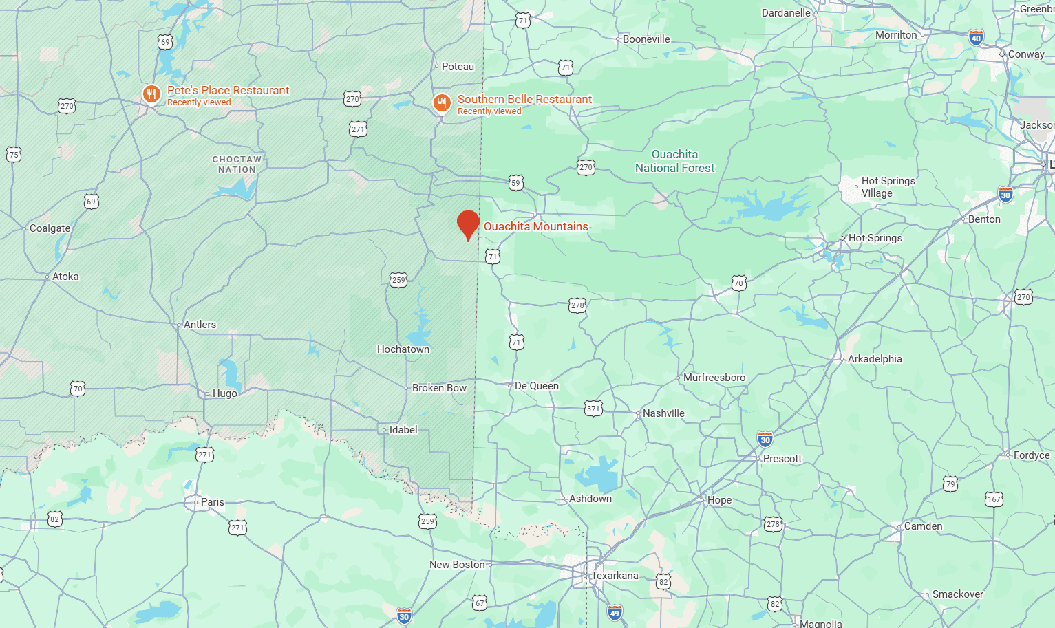
The Ouachita Mountains and the Talimena Scenic Drive sit in the far southeastern corner of Oklahoma, stretching toward the Arkansas border in a region that feels worlds away from the wheat fields and open prairie most travelers associate with the rest of the state.
Most visitors budget two to three hours for the complete scenic drive, though anyone with a genuine interest in photography, hiking, or simply lingering at the various overlooks should plan for considerably longer.
Whether you’re chasing fall color, hunting for quartz crystals in a mountain stream, or simply curious what Oklahoma looks like when it decides to ignore its own reputation entirely, this quiet corner of the state has spent generations proving there’s more to discover here than most travelers ever expect.
I think that’s the real takeaway from reading through so many accounts of people stumbling onto this place by accident. Nobody seems to arrive with high expectations, simply because nobody told them to have any in the first place.
And then they round a curve on the Talimena Drive, or wade into a cold mountain stream looking for crystals, and the surprise hits exactly the way the best travel surprises always do: quietly, completely, and without any warning at all.
That’s a rare gift in an era when most destinations get hyped to death online before anyone’s even pulled into the parking lot. This corner of Oklahoma hasn’t needed the hype. It’s simply been sitting there, patiently, letting word spread the old-fashioned way, one rerouted GPS trip at a time.
If you find yourself anywhere near the Oklahoma-Arkansas border with a free afternoon and a sense of curiosity, consider taking the long way around.
You might just end up with your own version of the same story everyone else seems to tell about this place: that they had absolutely no idea, and now they can’t stop talking about it.
More stories
This Oklahoma State Park Looks Like It Got Lost on Its Way From Arizona
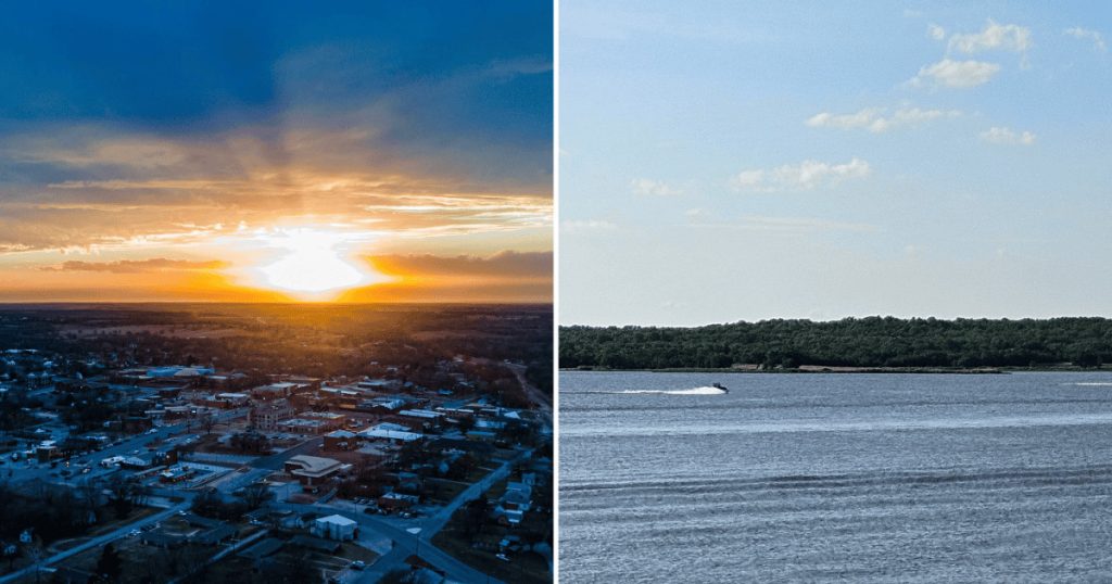
This Oklahoma Lake Lets the Sunset Take Up the Entire Sky
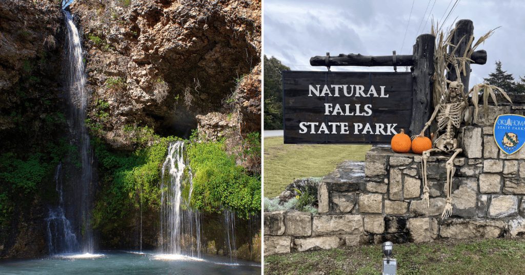
This Oklahoma State Park Hides a 77-Foot Waterfall at the Bottom of a Quiet Green Valley
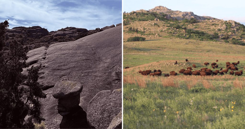
This Oklahoma Mountain Range Hides a Heart-Shaped Reward at the End of a Five-Mile Hike
Share this story